Oil company maps – South and Central America – M-Z
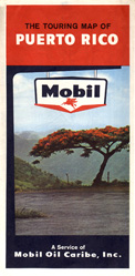
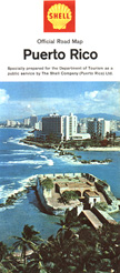
This map of Puerto Rico was issued by Mobil in 1964. The map is in both English and Spanish and features cartography by Rand McNally.
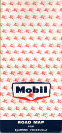
This map was issued by Mobil's Venezuelan marketing arm. The map is undated but is believed to have been issued in the early Sixties.
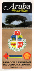
This 1993 map of Aruba is unusual in that, other than the Shell scallop logo, it bears a remarkable resemblance to the Esso maps issued in the same island. No wonder — the cartography for this map was done by General Drafting, long the provider of Esso and Exxon maps. This is one of the few known General Drafting maps issued by a company that was not one of the former Standard Oil companies.
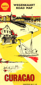
It's not surprising that Shell has a presence in the Dutch possessions in the Caribbean. Not only does Shell have its roots in the Netherlands, but Curacao is an important transshipment point for oil produced in the region. This map was issued in 1971.
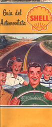
This Shell map of Cuba was issued in 1957. Like most foreign operations in Cuba, Shell's presence on that island ended after the 1959 Castro revolution.
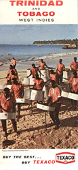
This 1972 Texaco map is somewhat reminiscent of the format used by Texaco in the United States in the early Sixties. During this period, Texaco's subsidiaries in South and Central America carried distinct designs for each country. This map covers the Carribean island of Trinidad and the cover photo depicts the Texaco drum band performing on a Trinidad beach.
