Oil company maps – North America – Sa-Sm
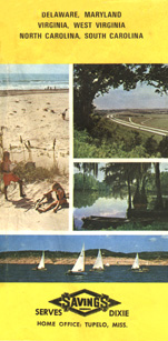
This SIGMA-style map was issued by the Savings Distributing Company in Tupelo, Mississippi in 1968. Savings operated a chain of discount stations and may still be in operation today.
No description

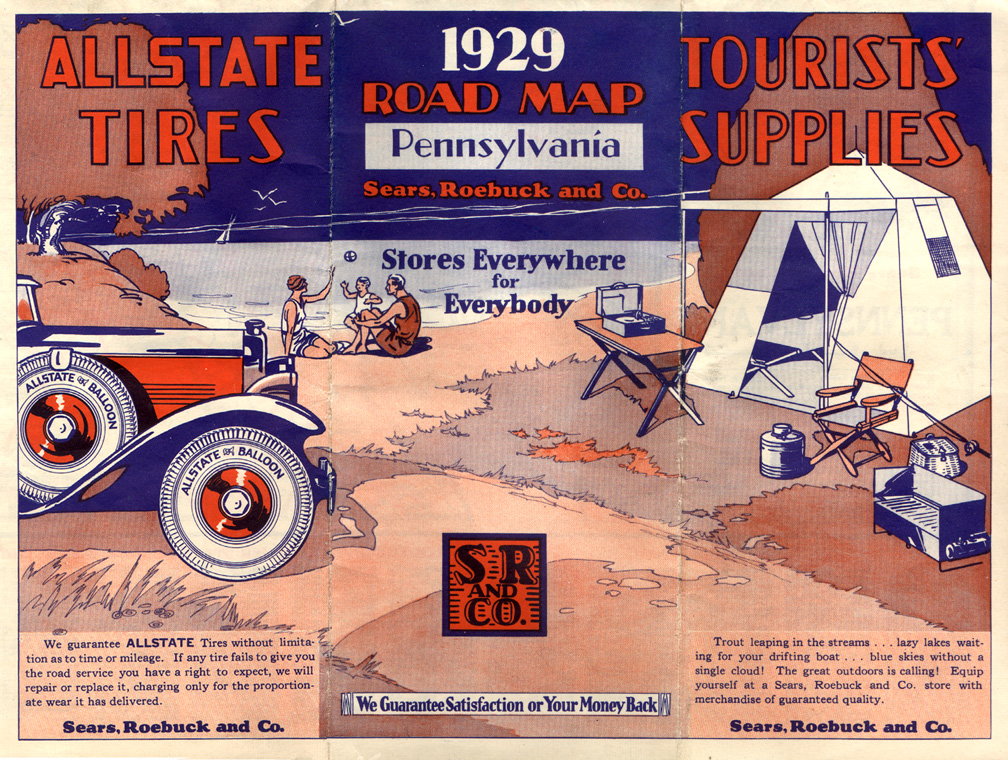
The well-known department store/retail chain Sears, Roebuck & Co. (and its Allstate subsidiary) issued road maps. Many Sears stores, particularly those in larger markets, were accompanied by an automotive service area with filling station.

This beautifully-colored map was issued by the Seaside Oil Co. during the Forties. Seaside was a regional marketer based in Santa Barbara, California. During the late Forties, Seaside was acquired by Tidewater Associated, and became that company's secondary brand.
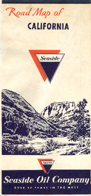
This map was issued by Seaside during the early Sixties. When Tidewater Associated sold their western operations to Phillips in the Sixties, Seaside was included as part of the package. Phillips continued the Seaside brand until the early Seventies.
No description

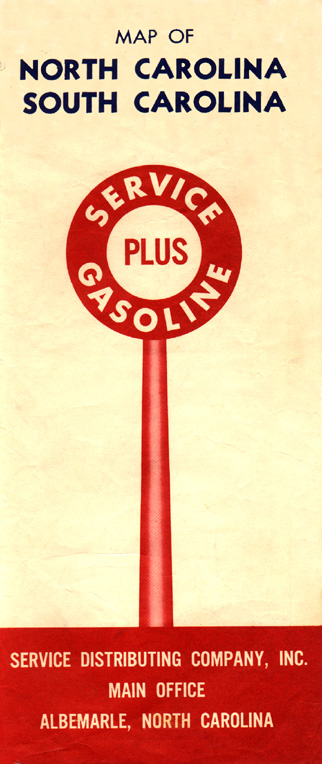
Service Distributing Co. began a chain of discount service stations in North Carolina during the Thirties. The company has close ties to Amerada Hess. This map dates from the late Sixties.
No description
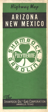
Shamrock began in west Texas in the Twenties and was a regional marketer in the southwest and south central states. This map was issued in 1941.
No description

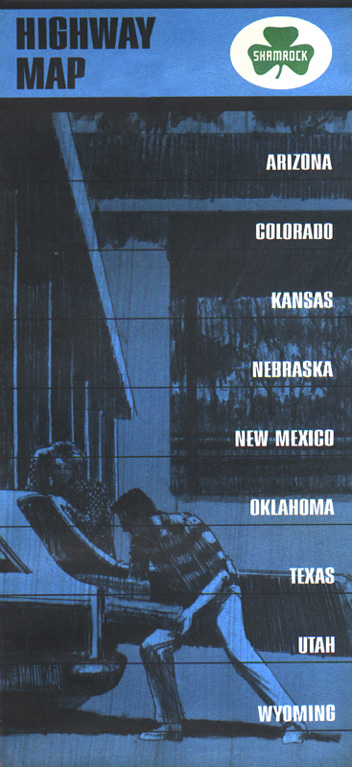
This attractive map was issued by Shamrock in 1973.

Sheetz is a Pennsylvania-based convenience store and gasoline chain. This map was issued in 1997 nominally as a station locator map. Though it isn't as detailed as a conventional road map, this map does show most major highways in Sheetz territory.
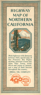
This unusual design Shell map covers northern California and was issued in 1929.
No description
No description
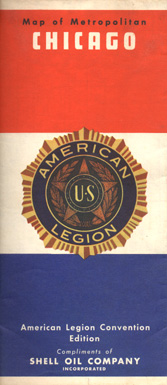
This Shell map has a special cover and was issued for the American Legion convention held in Chicago in 1939. The map's interior is identical to Shell's conventional 1939 issue with cartography by H. M. Goushá.
No description
No description
This map was issued by Shell during the early years of the Ohio Turnpike and Indiana Toll Road. It shows Shell service areas on the toll roads as well as any Shell stations adjacent to toll road exits.
No description
No description

This map of Oregon was issued by Shell in 1971 and is typical of the panoramic image series in use by Shell's U. S. and Canadian operations during the Sixties and early Seventies.
No description

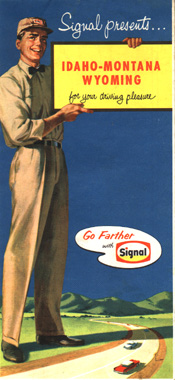
This colorful map was issued in 1940 coincident with the Golden Gate Exposition. Not surprisingly, it depicts the then-new Golden Gate Bridge. Signal Oil and Gas was a west coast refiner/marketer that was affiliated with Standard Oil Co. of California (Socal). The Signal brand was bought outright by Socal in the Forties and operated until 1965 when sold to Standard Oil Co. of New Jersey and rebranded to Enco. Meanwhile, Signal Oil and Gas had acquired several regional brands and marketed in California and the southwest as Hancock and other brands.
No description
No description

Simpson was a Missouri-based marketer purchased by Sinclair in the early Sixties. By the time this map was issued in 1962, the company had become a division of Sinclair. Sinclair retained the Simpson name as a secondary brand until about 1965.
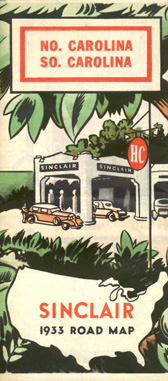
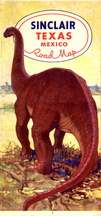
This 1933 Sinclair map is an example of the colorful tri-fold maps issued by Sinclair during the Thirties. Sinclair was one of the largest U. S. oil companies, and retailed through most of the United States.
No description

No description
This 1946 map is typical of the small maps issued by Sinclair during the years immediately following World War II.

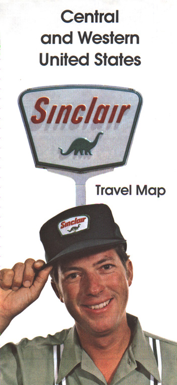
This 1962 Sinclair map was issued shortly after the company modernized its image and replaced its old circular "HC" logo. Long used in Sinclair advertising and long associated with the company, the green dinosaur has finally taken center stage inside the company's new five-sided sign. Sinclair was purchased by Atlantic Richfield in 1970. In the northeast, where both Atlantic and Sinclair stations operated, numerous stations were sold to BP. Elsewhere, Sinclair stations were rebranded to the new Arco brand.

No description
A 1973 court action resulted in Atlantic Richfield (Arco) being required to divest of some of its operations; this led to the formation of a new, independent Sinclair Oil Company. The Sinclair brand and logo and Arco's retail operations in the region between the Mississippi River and Rocky Mountains were spun off to the new company. This is a 1978 map issued by the "new" Sinclair.
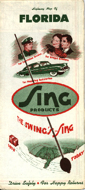
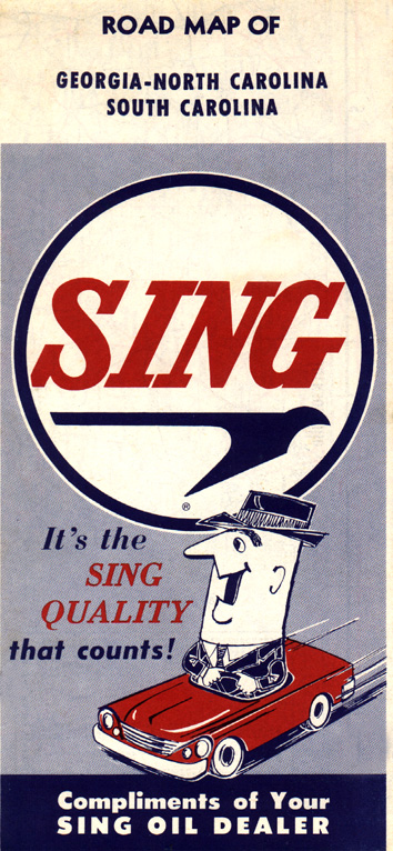
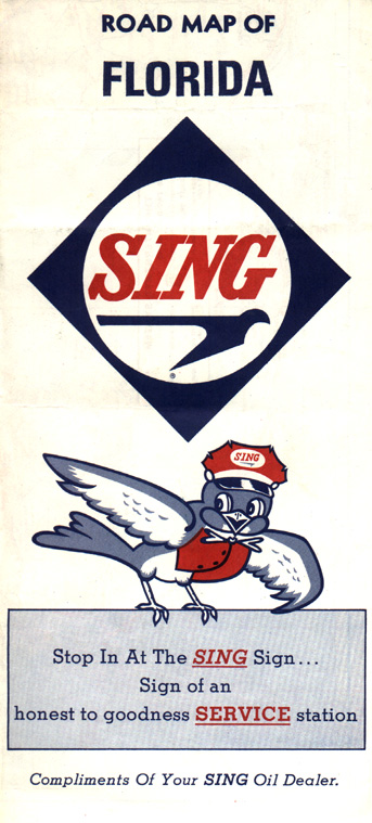
Sing Oil was an independent marketer operating in the southeast. This map dates from the Fifties. The company was acquired by Amoco during the early Nineties.
No description
No description

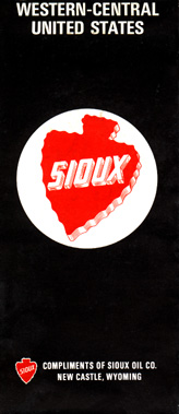
Sioux was based in Newcastle, Wyoming and was acquired during the late Sixties by Tesoro. This map dates from 1956.
No description
No description
No description

The image of a nattily-dressed tailor seems a bit incongruous on this 1937 Skelly map, as does the "Follow the Skelly Tailor" inscription at top. But the rear cover of this map explains the tailor's presence by stating that Skelly gasolines are "tailor-made" for every community the company served.
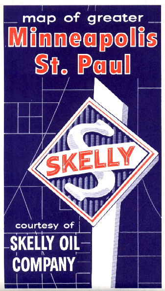
This 1969 Skelly map of Minneapolis-St. Paul shows the style of city map issued by Skelly during the Sixties.
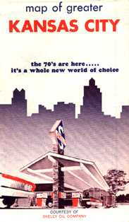
This 1972 map of Kansas City shows the style used by Skelly for the handful of city maps they issued in the early Seventies. Though the cover art is different, the theme is similar to those used on state and regional Skelly issues of the period.
No description
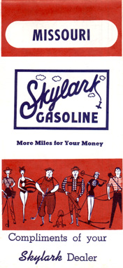
Skylark was a midwestern independent about which little is known. This map, using a well-known Rand McNally generic cover design, was issued in 1966.
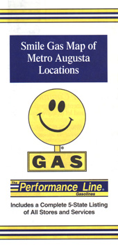
A small southeastern independent, Smile issued this city map of Augusta, Georgia (with stations marked on the map) in 1998.