Oil company maps – North America – P-Q
No description
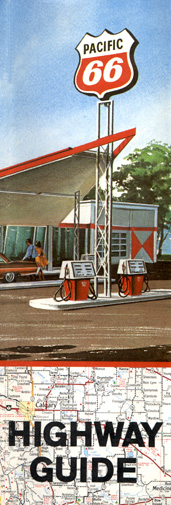
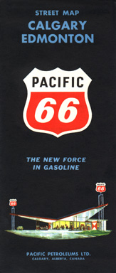
Pacific Petroleum, Ltd. was a Canadian refiner/marketer that was a subsidiary of Phillips Petroleum and was headquartered in Calgary, Alberta. The company marketed using its Pacific 66 brand in western Canada. This map (actually a staple-bound atlas folded into booklet form) was issued in 1972. Pacific Petroleum withdrew from retail marketing during the early Eighties.

The Mexican Petroleum Corporation was originally a production firm based in New Orleans, and the corporate title and Pan-Am brand name are references to the firm's Mexican and central American production facilities. Partial control was acquired by Standard of Indiana during the Twenties, and the corporate title changed in the early Thirties. Interestingly, the territory covered by this 1929 map is far away from Pan-Am's marketing territory in the south central states.
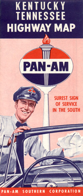
For most of its history, Pan-Am marketed in Alabama, Louisiana, Mississippi, and Tennessee. During the Fifties, Standard of Indiana acquired the remaining balance of Pan-Am's stock. Beginning in 1956, Standard began to rebrand Pan-Am stations to the Amoco brand.
No description
No description
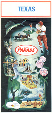
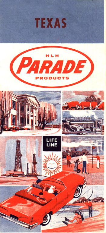
Part of the H. L. Hunt oil empire, Parade operated in several southern states from the late Thirties until the late Sixties. This colorful map dates from 1968.
During the Thirties, Quaker Oil Company sold gasoline using the Paraland brand. This map dates from the Thirties.
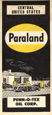
This Paraland map dates from the Fifties, after the company had been acquired by Phillips Petroleum. Paraland was Phillips' secondary brand and operated through a large portion of Phillips territory until the Paraland brand was discontinued in 1972.

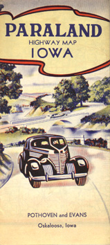
This 1930 map was issued by the Producers and Refiners Oil Company in Independence, Kansas. While the notion of conquistadors landing in Iowa is a bit laughable, this map cover is one of the most attractive and desirable map designs of all time.

No description
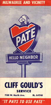
Pate Oil Company was a small Milwaukee-based discounter founded in the Thirties. This map was issued in 1956, just before Pate's acquisition by Standard of New Jersey. Published at the height of the Cold War, this locally-produced map indicates the location of each civil defense air raid shelter in Milwaukee, as well as the 140 or so Pate stations in Milwaukee and southeastern Wisconsin.
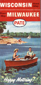
This map was issued by Pate in 1960 and shows the the oval logo that replaced the Pate shield after Pate was acquired by Jersey Standard in 1956. Later in 1960, all Pate stations were rebranded to Enco, the new brand name that was created to replace the four brands then in use by Jersey Standard outside the Esso marketing region.
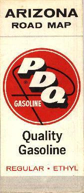
PDQ was a regional marketer in the southwest. This map dates from 1961.
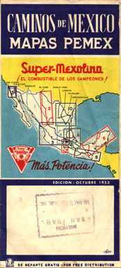
Petroleos Mexicanos, the monopoly owned by the Mexican government issued this map in 1953. The company used the Pemex abbreviation and the Super-Mexolina brand name.

No description
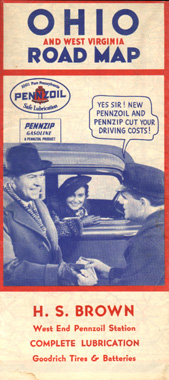
Pennzip was the brand name used by Pennzoil for the somewhat-limited gasoline marketing area the company operated in the area in the oil producing areas in the eastern U. S. The company chose Pennzip name for their motor fuel retailing operation so that other retailers wouldn't be reluctant to sell Pennzoil lubricants for fear that they'd be advertising a competitor's products. This map was issued in 1935.
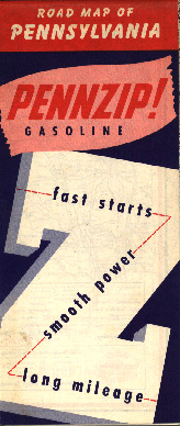
This Pennzip map was issued during the Fifties.
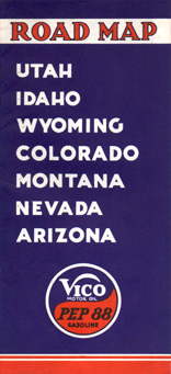
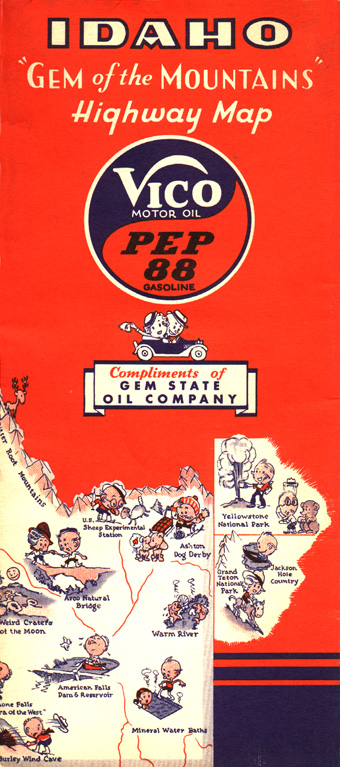
The Utah Oil Refining Company marketed gasoline under the Pep 88 name and motor Oil under the Vico name in Utah and Idaho until about 1945, when it changed to the Utoco brand and the torch and oval logo used by Standard of Indiana. Utah Oil's parent company had been acquired by Indiana Standard during the early Thirties. This map dates to 1936.
No description

No description
No description
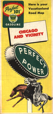
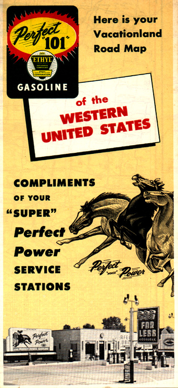
Perfect Power was a Chicago-based discount retailer. Shortly after this 1957 map was issued, the company was purchased by Standard of New Jersey and stations were rebranded to Oklahoma, a brand that had been acquired by Jersey Standard in 1956. The transition to Oklahoma was to be short-lived, as all of Jersey Standard's retail operations in the midwest were rebranded to the new Enco brand in 1960.

Petco was a regional independent based in New England. This map was issued in 1961.
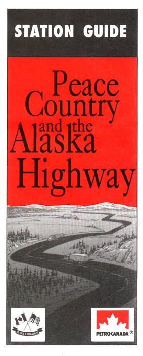
Petro-Canada was established by an act of Canada's Parliament in 1975. It first began retail operations in 1979 with the purchase of Calgary-based Pacific Petroleums Ltd, which had been partly-owned by U. S.-based Phillips Petroleum, and which operated in Canada's western provinces.
Petro-Canada grew in leaps and bounds during the Eighties; in 1971 it bought Petrofina Canada from its Belgian parent, bringing the former Fina operations in eastern Canada under the Petro-Canada name and maple leaf flag. In 1983, it acquired British Petroleum's BP stations in Ontario and Québec. With the acquisition of Gulf's stations in Ontario and the western provinces in 1985, Petro-Canada established a nationwide network and became Canada's leading retailer of motor fuels and lubricants. The company was privatized in 1991.
This map located Petro-Canada stations along the Alaska Highway and was probably issued during the Eighties.
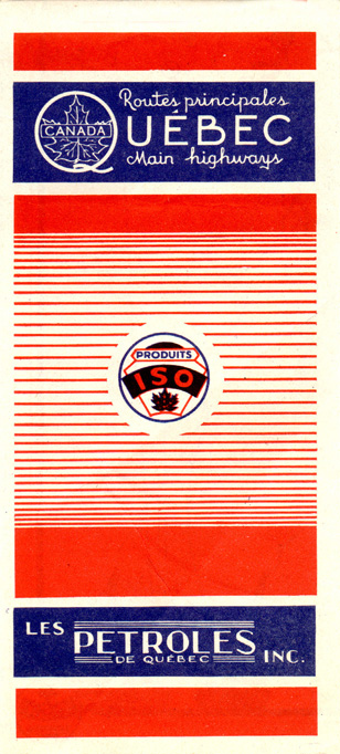
Les Pétroles de Québec operated in the Canadian province of Québec and was acquired in the late Forties by Maritime-based Irving Oil. This undated map dates from the late Thirties or early Forties.
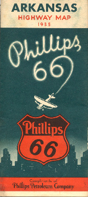
This 1935 map is one of my favorite maps issued by the Phillips 66. The skywritten brand name is a unique feature, isn't it? Later Phillips maps are more mundane and are rather common, given the firm's extensive cross-country marketing area.

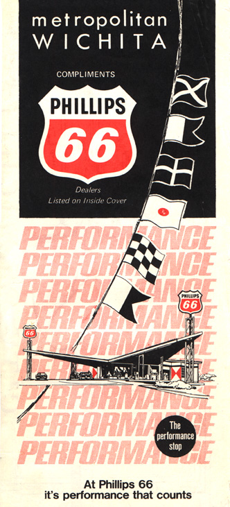
This plain black map is somewhat attractive for its stark simplicity and for the way the logo and station image stand out. This design and variants were used for a number of years in the early- and mid-Sixties. This map was issued in 1960.
No description
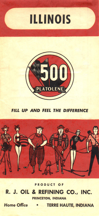
The Platolene brand was a small discount company operating in the central midwest. This map was issued in 1959.
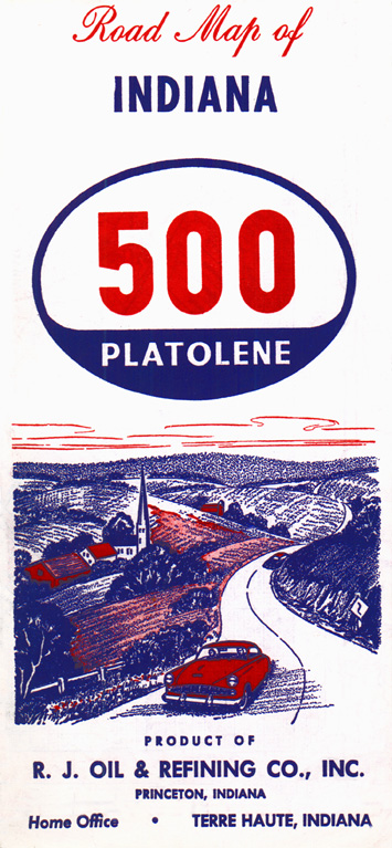
Showing the later Platolene logo, this map was issued during the Sixties. The company is still in operation, marketing under the "500 Platolene" and "500 Express" brands in south central Indiana.
No description
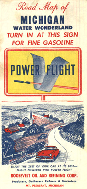
Power-Flight was a brand name introduced by the Roosevelt Oil Company of Mount Pleasant, Michigan beginning in the late Forties. This map was issued in 1955, the same year the Power-Flight operation was acquired by Leonard and rebranded with the new owner's name.

No description

The Powerine Company was a Denver, Colorado-based refiner and marketer which was acquired by Standard Oil Company of New Jersey, with the Powerine brand eventually falling in favor of the Oval E and later Carter brands. This rather plain map was issued around 1940.
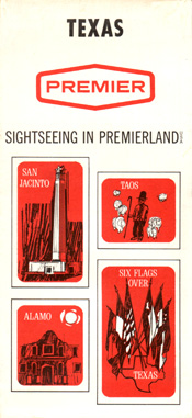
Premier was an independent Texas refiner operating in Texas, Arkansas, Louisiana, and Oklahoma. The company was acquired by Sunray DX in 1964. The Premier name was retained for some time. This map dates from 1967.
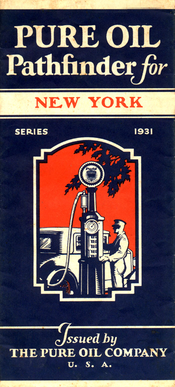
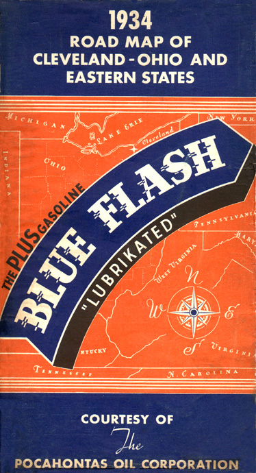
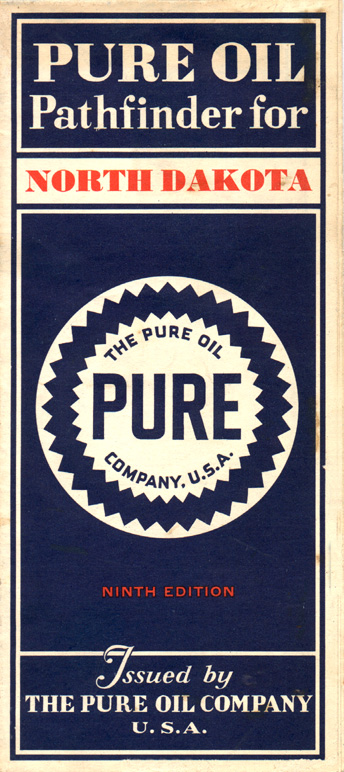
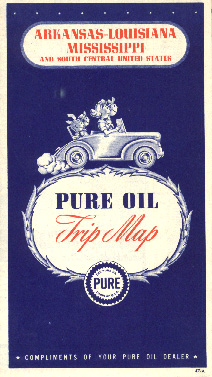
Pure's predecessor was founded in Pennsylvania in 1891 and subsequently passed into the hands of Ohio-based public utility magnates. Pure had begun gasoline marketing in 1914. The company expanded through a number of mergers during the Twenties and came to operate in a region extending from the Dakotas to Florida, with most marketing operations east of the Mississippi River. This attractive map was issued in 1931, shortly after Pure's famous "seal" logo was adopted.
While lacking the visible pump of the previous year's Pure map, this 1932 map retains the blue and white theme that was to dominate Pure maps until the Sixties.
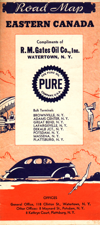
This map was issued by R. M. Gates of Watertown, New York, who was apparently a Pure jobber before Pure withdrew from New York and Pennsylvania. Using one of the few known generic covers from cartographer H. M. Goushá, this map was issued in 1937.
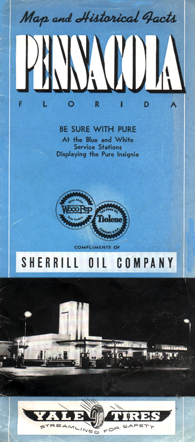
This somewhat unusual map of Pensacola, Florida was issued by the area's Pure jobber. It is believed to date from the late Thirties.
This map, with a relatively-scarce cover, was issued by Pure in 1945.
This 1947 map retains the familiar blue-and-white color scheme used by Pure for decades.
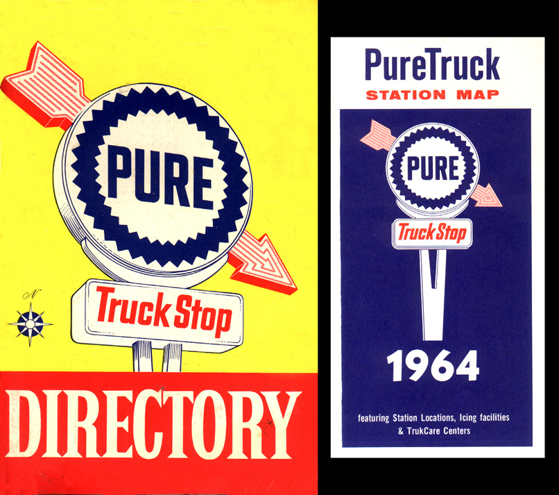
This 1964 Pure truck stop directory departs from the normal cover hues. The directory is a booklet that catalogs Pure's truck stops and the available facilities. Accompanying the descriptive information are pictures of each truck stop. Included with the directory is a regional map showing the location of Pure's truck stops.
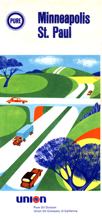
This 1969 map is one of the only Pure maps to stray from Pure's traditional blue and white motif — and it's one of the last Pure maps to be issued. Pure had been acquired by Union Oil of California in 1965 — note the presence of that company's name and logo at the map's bottom — and Pure stations were rebranded to the parent's Union 76 brand around 1970.
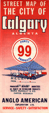
Purity 99 was a regional firm involved in petroleum exploration in western Canada. At its peak, Purity operated about 700 retail stations between Canada's west coast and western Ontario. The company, formally known as the Anglo American Exploration Ltd., was acquired by British-American in 1962, and later transferred to its Royalite affiliate, before eventually being rebranded along with Royalite to the BA brand.
The well-known maker of Quaker State lubricating oil also marketed motor fuels in its producing region (Pennsylvania and surrounding states).