Oil company maps – Europe and the British Isles – E
Elf is a fairly young brand, having been created by the French government in 1967 to acquire Caltex's French marketing operations while that firm's European operations were in the process of being dissolved.

This postwar Esso map of France was probably issued in the early Fifties, as it does not yet use standardized format and cartography used in later years for Esso maps from around Europe.
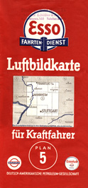
This sectional map of Germany was issued in the late Thirties and reflects the shift of the principal brand name from Standard to Esso in Germany, just as had been done in the United States a few years earlier.
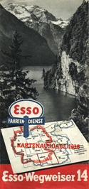
This map was issued by the Esso's travel service in Germany in 1938. Wegweiser roughly translates to "road guide". This multipart map exists principally to show points of interest and to show suggested routes for tourist day trips. Hitler's Germany had seized control of Austria by the issue date of this map. In fact, the territory shown on this map is that of former Austria.
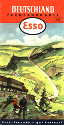
This is a Fernfahrkarte (long distance travel map) of Germany dated 1952. It carries a suggested price of 25 pfennig.
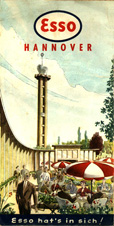
Few city-only maps were issued by Esso's European subsidiaries, but this 1956 map of Hannover (Germany) is one of the exceptions. The map is of a standard style used around the world during this period.
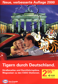
This year 2000-dated atlas of Germany was issued by Esso. Note the familiar Esso tiger continuing to be part of the company's advertising motif.
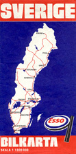
This vividly colored map reflects a departure from the rather plain design of Esso maps from the Sixties and early Seventies. This map of Sweden was issued in 1980 by the Swedish subsidiary.
