Oil company maps – Europe and the British Isles – B
No description
No description
No description
No description
No description

No description
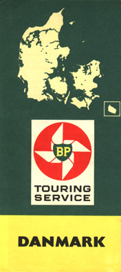
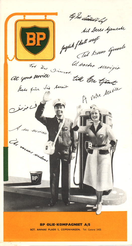
This BP map of Denmark was issued in the Sixties.
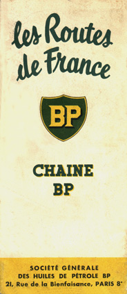
This 1954 map of France was issued by the BP's French subsidiary.
No description
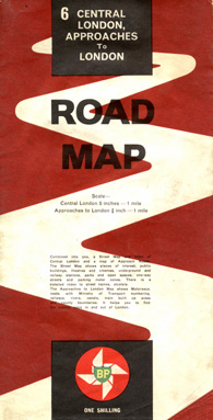
This 1962 map of Central London and approaches is typical of the design used by BP in the United Kingdom during this era.
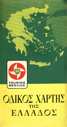
This map of Greece was issued in 1962. Unlike most maps issued for BP's touring service, this map uses the Greek alphabet almost entirely.
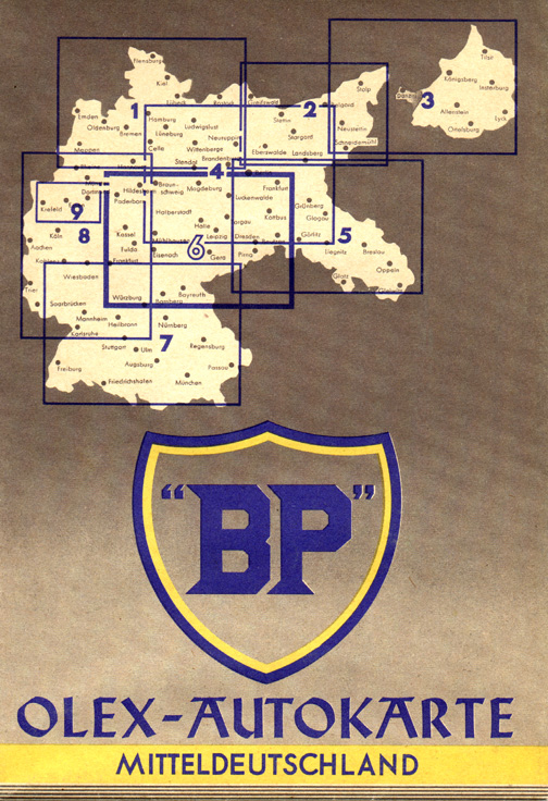
This sectional map from Germany was issued by BP's German subsidiary during the Thirties. Olex was a German brand that was acquired by British Petroleum, and the company used both names until World War II.
No description
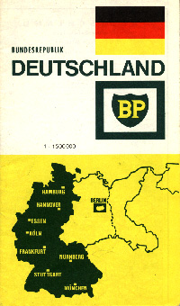
This BP map of Germany was issued in the early Seventies. Note that Germany's pre-World War II boundaries are shown on the map but, unlike some other maps of Germany from the Cold War era, this map also depicts the de facto boundaries between Germany and Poland and between East and West Germany.

No description

No description
No description
No description
No description
No description
This map of Portugal was issued by BP in 1957.
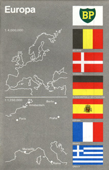
This map of Europe is typical of the designs used for European issue BP maps in the early Seventies. This particular map bears a 1973 issue date.
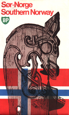
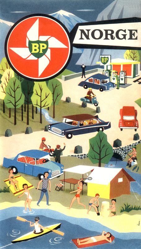
Unusual for showing a local design at a time when standardization of BP road map cover art was the rule, this map of southern Norway was issued in 1974.
No description
No description

This map was issued jointly by BP and by the Automobile Association (of Great Britain) in 1990.
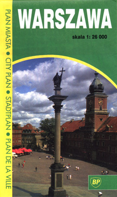
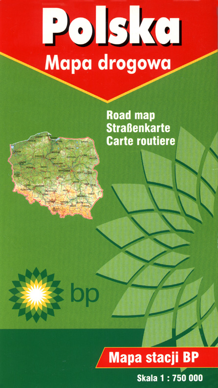
This map of the Poland's capital of Warsaw was issued by BP in 1999. BP has a growing presence in Poland and has issued maps of several Polish cities in addition to a map of the entire country.

No description

No description
No description
In 1898, 13 mining companies founded the Westdeutsche Benzol-Verkaufsvereinigung (Western German Benzene Sales Organization), whose goal was to sell by-products from coke production (such as benzene) to chemical factories, and to find new uses for these by-products. During the teen years, benzine's use in motor fuel increased; in 1918, a successor company, Benzol-Verband (Benzene Association), is formed. This company is thus known as B. V.
The company's premium-grade fuel was developed in 1924 and given the name "B.V. Aral". The name "Aral" was derived from the first two letters of the principal ingrediants aromatics (benzene) and aliphatics (gasoline).
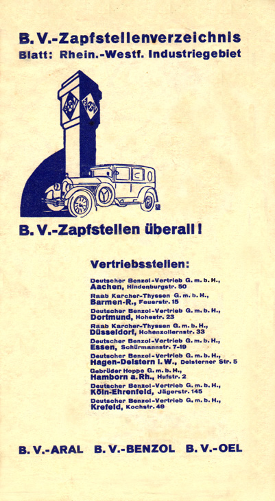
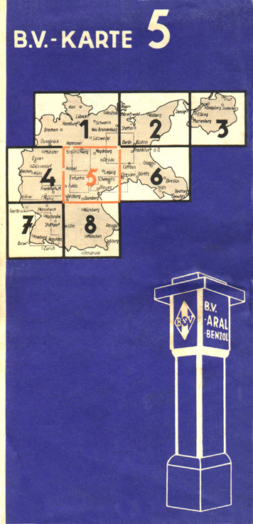
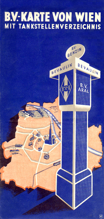
The pictured map dates from the mid-Thirties and is part of an eight-section series covering all of Germany. A typical gasoline pump of the era is pictured.
No description
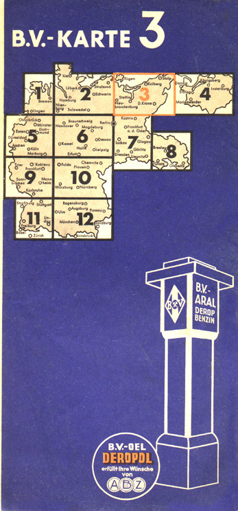
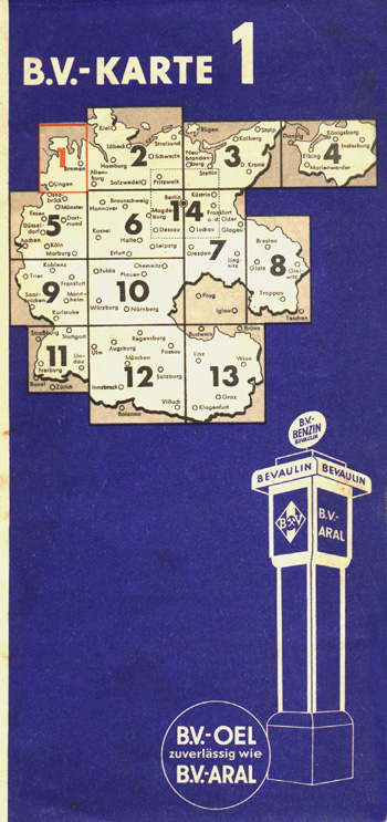
This 1936 map shows a revision of B-V's map offerings to a 12-section series. Also shown is the addition of the Derop name following that company's acquisition by B-V. the year before. Derop was the Deutsche Vertriebsgesellschaft für russische Ölprodukte (German Sales Company for Russian Oil Products). With the government of Nazi Germany having a strong anti-Soviet stance, the climate toward the Russian oil firm probably likely became somewhat chilly, much as happened to Russian Oil Products in Great Britain during the the late Forties. In any case, the Derop name disappeared from the pumps (and maps) the following year.
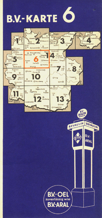
This 1938 map from Nazi-era Germany shows an enlarged Germany following the Anschluss (annexation) of Austria by Hitler in March 1938. The old 12-section series has been revised to 13 sections in order to include the former Austrian provinces that were now part of the German Reich.
No description
Following the acquisition of Austria by Hitler, the German dictator's next target for conquest was the Sudeten region of Czechoslovakia along the borders with Germany, and German armed forces occupied that territory in October 1938. This map — issued in early 1939 — shows the new borders. Observe how the borders have changed slightly; this is particularly evident in section 7, which was expanded to include the Sudeten territory and — ominously — the rest of the Czech lands.
This map was issued slightly later in 1939 after Nazi Germany had gained control over Bohemia and Moravia (the two westernmost regions of what had been Czechoslovakia), and formed a German-administered "protectorate". This was to be the final German territorial expansion before World War II began on September 3, 1939, and marks the last B-V map series issued before the German reconstruction period in the late Forties.
No description

No description
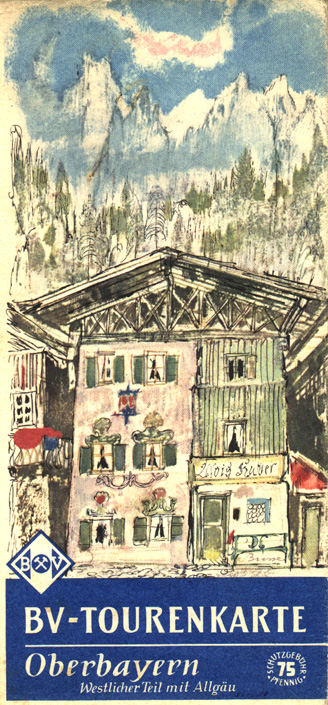
This map was one of a series of touring maps of scenic regions in Germany issued by B. V. Aral. No date is given, but the map likely was issued during the late Fifties or early Sixties.