Oil company maps – Australia and the Pacific – C-D
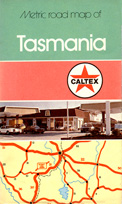
This Caltex map of the Australian island state of Tasmania indicates that distances are given in metric. This would tend to suggest the map as being from the Seventies.
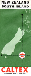
This 1972 map of New Zealand's south island follows the classic Caltex style that was used around the world. In particular, this design was in common use throughout Europe prior to the departure of the Caltex brand from that continent in the late Sixties.
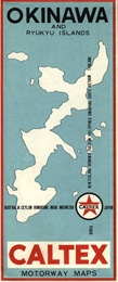
This Caltex map of the Pacific island of Okinawa was issued in 1967. Note the similarity to the Caltex European designs of the same period, albeit with different coloration. Okinawa became a U. S. protectorate from the end of World War II but in recent years, the island reverted to Japan. A large U. S. military base is still located on Okinawa.
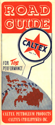
This attractive Caltex map of the Philippines was issued in 1947. The map was issued inside a Caltex-marked paper sleeve.

This image is of the two covers of a Caltex map of Thailand, with the map description in English and Thai. This map is not dated.

Long affiliated with BP, Commonwealth Oil Refining had adopted a BP-like shield logo and, by the time this map was issued in the Fifties, had changed their name to BP Australia Limited. The BP globe in the map's lower right corner foreshadows the rebranding to BP that would take place in subsequent years.

