Oil company maps – Europe and the British Isles – S
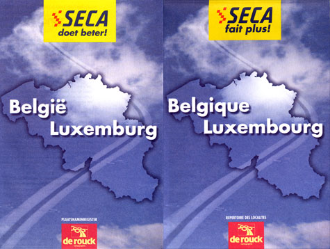
SECA is a Belgian company whose name is a contraction of its name in French, Société Europeenne de Carburants. The company operates in Belgium and northern France. This map was issued in 1999. Because Belgium is a bilingual nation, the map cover is titled in Flemish on one side and in French on the other.

No description
No description
No description
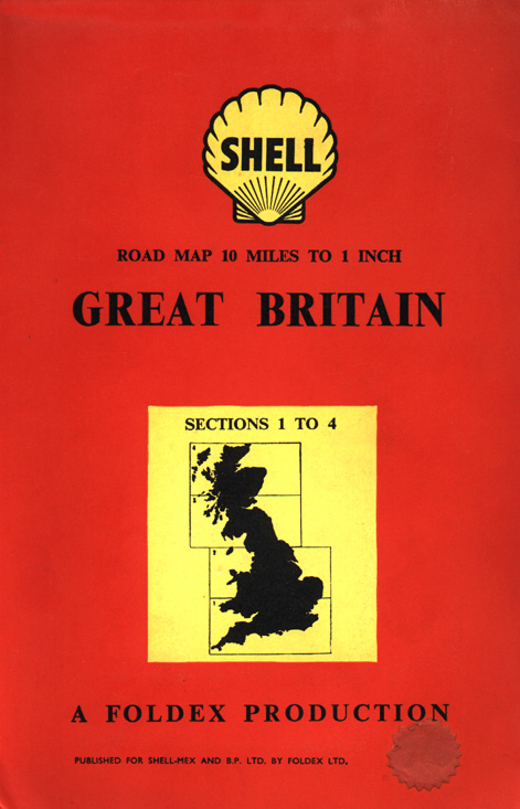
For a number of years, Shell and BP maintained a joint marketing arrangement in Great Britain. This map was issued in 1956, shortly before the two companies went their separate ways.
No description
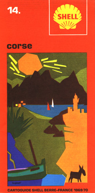
This map of the Mediterranean island of Corsica was issued by the French Shell subsidiary in 1969. The map's colorful, artistic design is typical of French Shell issues from that period.

No description

No description
No description

No description
No description

No description

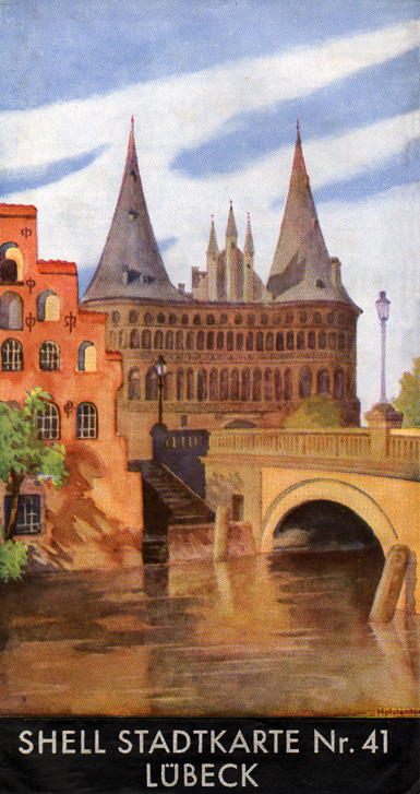
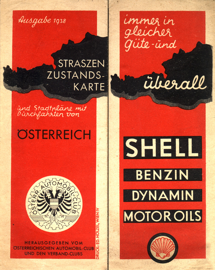
This map is typical of the scenic watercolor maps issued by Shell in Germany in the years before World War II. Shell had an enormous mapping program in Germany which consisted of 20 leaflet-style regional maps and an extensive number of equally colorful city and town maps. This 1938 issue covers territory which was historically part of Austria, but which had been annexed by Hitler into the German Reich in March 1938. Following this Anschluss (annexation) of Austria, the Shell regional map series was expanded to 25 maps to encompass the former Austrian territory.
No description
No description

No description
No description
No description
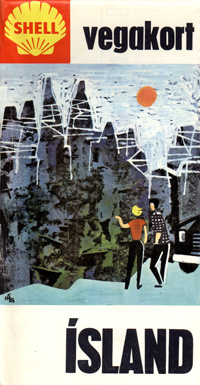
This Shell map of Iceland was issued in 1964. While maps of the remote North Atlantic island of Iceland are fairly unusual, the map's design fits in with many other Shell issues of the period.
No description
No description
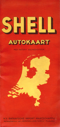
One of the world's petroleum powerhouses, Shell's was founded in the Netherlands to explore oil exploration in the Dutch East Indies and soon established a strong world-wide presence. This map of the Netherlands is in Shell's trademark red and yellow colors and probably dates from the late Forties.
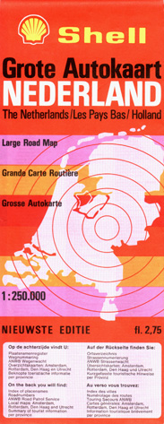
This Shell map of the Netherlands dates from the early Eighties.
No description

No description

This 1973 map of Norway shows the modernized Shell logo.

This 1971 Swedish issue shows both the Shell logo and that of the Koppartrans chain that had been acquired by Shell during the early Sixties. This map covers the northern half of Sweden. A companion map of southern Sweden from 1973 omits the Koppartrans logo.
No description
No description

No description

No description

No description
No description
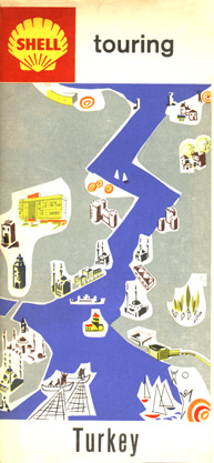
This 1962 Shell map of Turkey has the same general cover layout as other Shell issues from western Europe during this period. This particular map shows a stylized view of the cityscape of Istanbul.
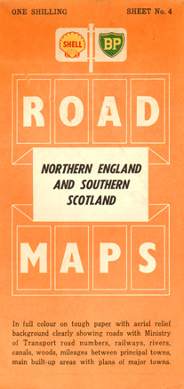
The co-branding of U. K.-issue maps with the Shell and BP names had ended by the time this map was issued in 1960, but the issuing company was still Shell-Mex & BP Ltd. The combination was broken up into its separate BP and Shell components.
No description
No description
No description

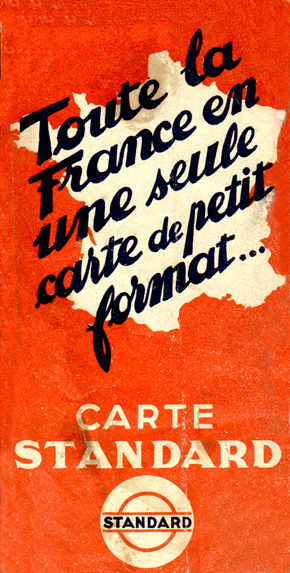
This undated map was issued by Standard of France (an affiliate of Standard Oil Company of New Jersey) during the Thirties.
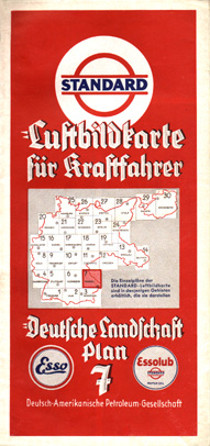
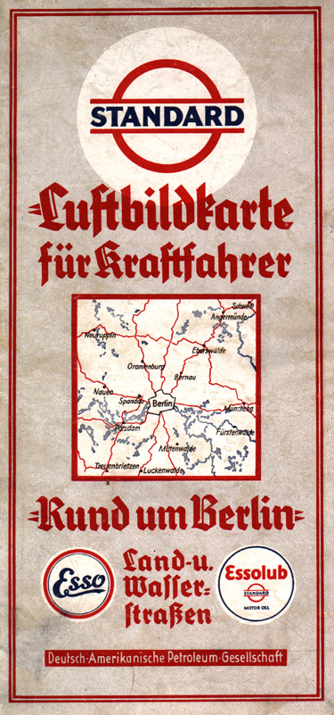
This sectional map was issued during the early Thirties by the Deutsche-Amerikanische Petroleum Gesellschaft (the German-American Petroleum Company), a subsidiary of Standard Oil Company of New Jersey. The title on the map indicates that this is an "aerial picture map for motorists". Note the small Esso logo noting the motor fuel was branded as Esso. The company's principal identity in Germany was "Standard" during this period, though it had just begun to convert to the Esso name when war broke out in 1939.
No description
No description
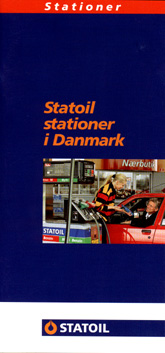
Statoil is owned by the Norwegian government and is involved in exploration, refining, and marketing in Norway and many neighboring countries. This 1997 station locator map was issued by Statoil's Danish affiliate. Statoil's Danish operations were purchased from Esso in 1986.